A guide with an accountable record
It is not an official land-manager service. Published sources are attributed, missing information stays visible and corrections should be supported by dated evidence. No field inspection is claimed in the current edition.
Freshness has a specific meaning
An editorial review date means sources were consulted. It does not mean a guide walked the route that day. Access observations require a named reviewer, an identifiable source with its role stated, a specific scope and an expiry. Conflicting or expired evidence returns to an unconfirmed state.
Keep source checks separate from updates
A changed source page is a reason to review it, not a reason to declare the mountain open or closed. Rebuilding the website does not advance the editorial review date. We do not display a rolling “updated today” label.
Separate editorial and booking information
Any future commercial link will be identified. Prices and departure availability belong to verified booking records, not to this mountain’s access record.
Local review
Dan. H
Named local reviewer. A dated field inspection has not yet been recorded for this edition.
Sources and evidence
The sources below support background information. They do not confirm today’s access or conditions.
- Mauritius Tourism Promotion Authority
Mountain identity, Moka Range, La Laura and the recommendation to use suitable equipment and a local professional guide. This is not a current access notice.
Source review - Hiking Mauritius
Technical overview and cited guided itinerary of 3.3 km, 450 m ascent and about four hours. Scope is programme-specific. Access is maintained separately from our owner report.
Source review - Mauritius Meteorological Services
Official weather information to consult before departure. No current warning or mountain forecast is reproduced here.
Reference link - Happolati / Wikimedia Commons
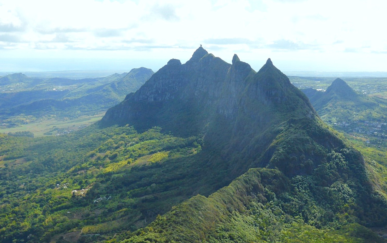
Landscape photograph, CC BY-SA 4.0. The original is supplied locally. The WebP version is resized; display crops vary. Both adaptations retain the same licence.
Source review - carrotmadman6 / Wikimedia Commons
Landscape panorama, CC BY 2.0. Resized by Wikimedia, cropped and toned in display. Archive image from 2011, not current conditions.
Source review - Luka Peternel / Wikimedia Commons
Pieter Both seen from Le Pouce. CC BY-SA 4.0. Archive image, not a current route report.
Source review - pyraniton / Wikimedia Commons
The distinctive summit above the northern landscape. CC BY 3.0. Archive image, not a current route report.
Source review - B.navez / Wikimedia Commons
Pieter Both and the surrounding ridges. CC BY-SA 3.0. Archive image, not a current route report.
Source review - Unknown artist / The Penny Magazine / Wikimedia Commons
An 1833 illustration of an ascent of Pieter Both. Public domain. Archive image, not a current route report.
Source review

.jpg)


Original photograph · CC BY-SA 4.0. Resized, cropped and toned for display. Not a current conditions photograph.